Laser Scanning BIM
Detailed Reality Capture Surveys
Get a Free Quote From Us Today!
We aim to get back to you in 24 hours.
At Laser Scanning BIM, we specialise in reality capture and BIM surveying services, providing comprehensive solutions for accurate design, coordination and construction. Our expert team uses advanced laser scanning techniques to produce detailed point clouds, allowing us to create precise models of existing conditions.
These models help streamline the construction process and facilitate effective project management. Whether you’re an architect, engineer or construction manager, our services are tailored to your needs.
Contact us today for a detailed survey.
Who Is Laser Scanning BIM?
We’re Laser Scanning BIM, a specialist in reality capture and Building Information Modelling (BIM) surveying. Our expertise lies in producing detailed point clouds via laser scanning to create accurate models of existing structures.
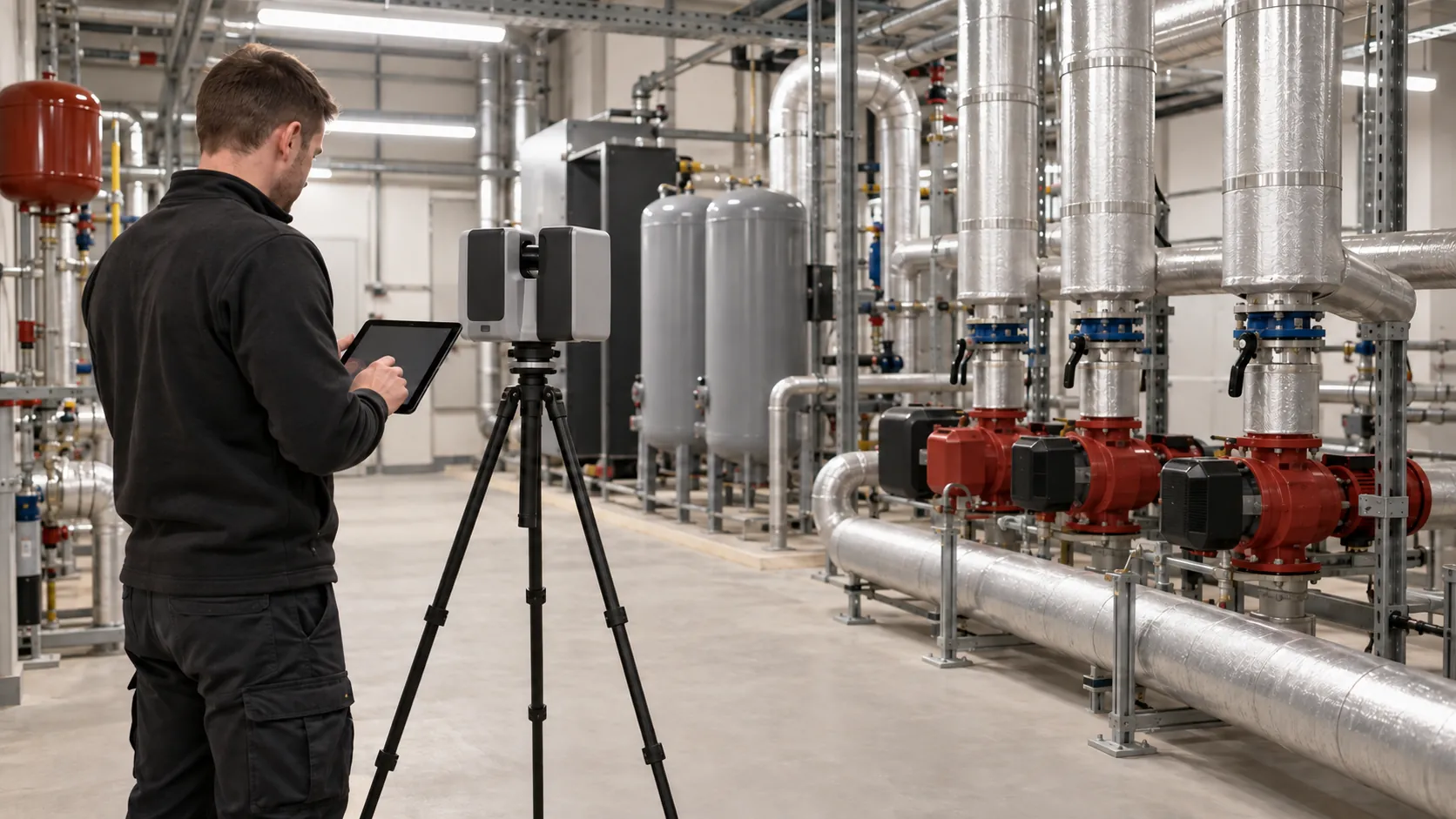
We employ industry-standard scanners like the Leica RTC360 and Faro Focus, known for their precision and speed. Our services extend from residential properties to large-scale commercial and industrial facilities, ensuring comprehensive data capture for every project.
We work closely with architects, engineers, and construction professionals to enhance project efficiency and accuracy. Our 3D models integrate seamlessly with software like Autodesk Revit and Navisworks, allowing for meticulous planning and analysis.
This collaboration enables proactive decision-making and effective risk management, decreasing the potential for costly errors.
Our commitment to quality and precision makes us an indispensable partner in achieving project success. Get in touch to discover how we can support your surveying needs.
What Services Does the company Laser Scanning BIM Provide?
At Laser Scanning BIM, we offer a range of services designed to support and streamline your projects:
- Laser Scanning: We capture precise measurements of your project site using our safe, efficient terrestrial laser equipment, which provides data accurate to within a few millimetres. This technique reduces manual measurement errors and speeds up the surveying process.
- Point Cloud Development: We transform laser scans into detailed point clouds, which form the foundation for advanced analysis and design. These point clouds can easily be integrated into CAD software, helping engineers and architects visualise spatial data and make informed decisions.
- BIM Modelling: We create accurate BIM models from point clouds using software like Autodesk Revit and Archicad. These Building Information Models facilitate seamless collaboration between disciplines for effective project planning and execution, minimising delays and mitigating risks.
- Existing Conditions Surveys: Our surveys provide thorough documentation and evaluation of current structural conditions, following industry standards such as RICS guidelines. This supports renovations, redevelopments, and compliance assessments.
We are committed to delivering services that enhance project accuracy and efficiency. Get in touch to learn how we can assist with your specific requirements.
When Is Laser Scanning Needed?
Laser scanning is essential when existing conditions require accurate and detailed documentation before commencing new designs or structural modifications. Using techniques like 3D laser scanning and LiDAR, we capture precise as-built data that informs project decisions.
Our services are typically needed for renovation projects, historical preservation, and complex new builds where precision measurement is crucial. For heritage sites, this methodology protects fragile details by obtaining non-intrusive scans that adhere to conservation standards.
In complex industrial or urban projects, laser scanning mitigates the risk of costly errors by ensuring all dimensions and spatial relationships are precisely mapped.
Additionally, we support MEP installations where accurate spatial data assists in efficiently planning and integrating services within the building fabric. Collaborating with architects and engineers, we help streamline workflows, reducing time and costs.
Contact us to discuss how our laser scanning can support your project’s needs.
Get a Free No Obligation Quotation Today
How Does Laser Scanning BIM Work?
Our process is straightforward and efficient, ensuring the highest levels of accuracy throughout each stage of the project. We employ advanced technologies like LiDAR and terrestrial laser scanners to systematically capture intricate details of your site.
- Consultation: We discuss your project requirements and establish a survey plan, factoring in deadlines, site accessibility, and specific challenges unique to your property.
- Scanning: Our team conducts precise laser scanning to capture detailed data of the site. Using high-resolution scanners, we measure distances and angles, creating a 3D representation of your property.
- Processing: We convert the scan data into a detailed point cloud for further analysis. Our experts refine the data using CAD software to ensure it aligns with industry standards like PAS 1192.
- Delivery: Our final deliverables include BIM models and comprehensive reports tailored to your project’s needs. These reports can help in visualising construction, managing facility operations, or planning maintenance.
Each phase is adhered to strict quality controls, ensuring detailed and reliable outputs. Contact us today to learn more about how we can assist in your project.
Who Does Laser Scanning BIM Help?
We assist a wide range of professionals across the construction and design industry. Architects benefit from our services by obtaining precise geospatial data instrumental in planning and design, allowing for the creation of detailed and accurate BIM models.
Engineers rely on our scanning techniques to assess structural integrity and perform clash detection, facilitating more effective project planning and execution. Construction managers use our point cloud data to enhance scheduling and resource allocation, streamlining processes and reducing project timelines.
Heritage conservationists find our detailed laser scanning essential for documenting historic sites, as it enables accurate preservation and restoration efforts without physical intrusion. Additionally, our services cater to facility managers who need ongoing maintenance and renovation planning, allowing them to maintain a digital record of their assets.
Contact us today to see how we can support your specific project needs.
How Quickly Can Laser Scanning BIM Respond?
We typically arrange site surveys within one to two weeks of your initial enquiry, depending on project scope and location. Our team uses advanced Leica and FARO laser scanning equipment, allowing us to capture precise measurements of your site quickly and accurately.
For larger or more complex projects, we may schedule additional resources to expedite the process. We adhere to industry standards such as PAS 1192 and ISO 19650 to ensure the delivery of consistent and well-structured BIM models.
Our surveys cater to a variety of client needs, from architects designing new builds to engineers assessing refurbishments. Once the site survey is complete, expect the digital model delivery in approximately two weeks, depending on project complexity.
Contact our team to schedule a survey at your convenience and begin transforming your project space into an actionable digital model.
Request a free quote
How Does Laser Scanning BIM Ensure Quality and Compliance?
We adhere to the highest industry standards, including PAS 1192 for BIM level 2, ensuring that all our data capture and modelling processes are quality assured and compliant. To achieve this, we use the latest 3D laser scanning technology, such as LiDAR, which captures millions of data points per second, allowing us to generate detailed and accurate models of any structure.
Our team is trained in ISO 19650 standards, ensuring we maintain consistency and accuracy throughout the project lifecycle.
We use point cloud software like Revit and AutoCAD to ensure precision in our Building Information Modelling (BIM) outputs. We also conduct regular internal audits and quality checks to identify and rectify any discrepancies early on.
Our commitment to precise detail guarantees that our outputs meet rigorous project specifications and standards. Reach out to us to learn more about our compliance processes and how we can support your project needs.
Why Choose Laser Scanning BIM?
Choosing Laser Scanning BIM gives you access to unparalleled precision and expertise:
- Innovative Technology: We use cutting-edge laser scanning tools to ensure the highest accuracy. Our equipment, like the Leica RTC360 and Trimble X7, captures intricate details with millimetre accuracy, providing a digital representation of your site.
- Expert Team: Our experienced team tailors solutions to meet your specific project requirements. With backgrounds in architecture, engineering, and construction, our specialists understand the nuances of various sites, allowing them to implement the most effective strategies.
- High-Quality Output: Our detailed point clouds and BIM models enhance project planning and execution. We adhere to industry standards such as PAS 1192 and ISO 19650, ensuring reliable data integration and information management throughout the project lifecycle.
- Reliable Service: We deliver accurate results promptly to keep your projects on track. Our streamlined process typically allows for delivery within two to three days, minimizing downtime and enabling swift decision-making.
Contact us today to see how our expertise can transform your project.
Frequently Asked Questions
What is a point cloud?
A point cloud is a collection of data points gathered from a laser scan, which represents the 3D surface geometry of a space or object accurately.
How is laser scanning beneficial for construction projects?
Laser scanning provides precise measurements and models, reducing errors and improving coordination between design and construction phases, ultimately saving time and cost.
Can you scan heritage buildings?
Yes, we regularly scan heritage buildings to capture detailed documentation that aids in preservation and renovation efforts.
Get a Free Quote
Ready to bring accuracy and precision to your projects? Contact us today to discuss your requirements and schedule a consultation.
speak with our team today
What People are Saying About Us
★★★★★
“I was so pleased with Laser Scanning BIM, a really lovely company that I would recommend to anyone without a second thought.”
Priya Duncan
London
★★★★★
“Delighted with Laser Scanning BIM and the 3D model. Professional and easy to deal with.”
Rebecca Bennett
London
★★★★★
“The Laser Scanning BIM team were great, really helpful and clear about what they were doing. Would definitely recommend them for any survey work.”
Chloe Bennett
London
★★★★★
“We needed every floor of our building scanned quickly. The Laser Scanning BIM team did it in a day, and the BIM model arrived promptly for our architect.”
Charlotte Nolan
London
Our Locations
We are proud to work nationally across the UK, allowing us to ensure we can provide services to you.
For a full list of counties we cover in the UK, see below.